Remote sensing and earth observation
About
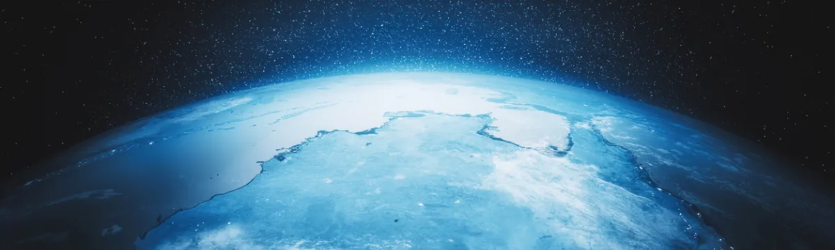
Earth observation using space-based technology provides a unique vantage point for observing and understanding the water cycle. We provide the technological knowhow and scientific understanding needed to bring new data within reach of our clients and collaborators.
We analyse and assimilate satellite data from remote sensing missions such as the Soil Moisture and Ocean Salinity mission (SMOS), the Gravity Recovery and Climate Experiment (GRACE and GRACE Follow-On), and Interferometric Synthetic Aperture Radar (InSAR). We use satellite data from the full electromagnetic spectrum – visible through to microwave – to provide extensive information about water in the landscape. Data in the visible range is typically used to assess vegetation, thermal data can be linked to land surface temperatures and evaporation, and microwaves are used to detect soil moisture and rainfall rates.
We develop innovative solutions to understand and predict water behaviour by combining satellite data with land surface data in computer models. These models are used to help manage water to meet the needs of the environment, production and communities.
Capabilities
- Mathematical modelling
- Land surface hydrology
- Land surface modelling
- Satellite time series analysis
- Data assimilation
- Model-data fusion
- Process understanding
- Satellite image classification
- Radiative transfer modelling
Members
Academic staff

Research Fellow, Institute for Water Futures
Crawford School of Public Policy
IWF Fellows
Research Fellow, Institute for Water Futures
Crawford School of Public Policy